ArcGIS StoryMaps
Overview
ArcGIS StoryMaps allows you and your students to create inspiring, immersive stories by combining text, interactive maps, and other multimedia content. Stories can be published and shared with the public, with only Macalester users, or with more limited groups within Macalester, which allows you to tailor content to a chosen audience.
You can use StoryMaps in many ways, including:
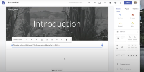
- As an online exhibition space. Students can work alone or in small groups to develop content for a virtual exhibit. They can pull together media, interpretive text, and essays to give context to their topic.
- To share written research in an interactive way alongside a variety of media. Students can combine their text with images, video, audio, and especially with maps in order to give more context to their writing and argument.
- Combining media and narrative text with maps to create virtual tours; these could be locations in a historic district, of biographical importance, or even maps of local businesses to share with campus visitors.
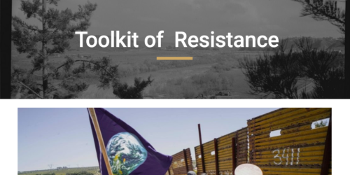
At Macalester, students have used StoryMaps to map locations in primary source documents, create interactive river biographies exploring ecological and social issues around chosen rivers, and to present stories about alumni.
Planning for Projects
Class projects using StoryMaps can be short and low stakes or a major course-long final project. The StoryMaps Curricular Portal at UMN is an excellent resource for examples of project scaffolding, assessment and student work. Faculty can reach out to their AIA or the DRC Manager for help with scaffolding and meeting course goals. Staff can reach out to the DRC Manager for help getting started and figuring out if StoryMaps are the right tool for the job.
Getting Started
To get started using StoryMaps or creating maps using ArcGIS Online, you first need to set up an Esri account. Follow this tutorial about Macalester’s ArcGIS Online Organization.
After you have created an Esri account, you will be able to login to StoryMaps at https://storymaps.arcgis.com/ using the same sign in process you used to create your account.
- Once logged in, you can create a StoryMap by select the ‘+ New Story’ button.
- Title your story, and then scroll down and select the plus (+) icon to begin adding new elements to the Story.
- You can select the ‘Design’ link in the upper right hand corner to make choices about the look and feel of your Story.
- Select ‘Preview’ to get an idea of what your Story will look like when published. When in preview mode, select ‘Edit Story’ in the upper right hand corner to return to editing.
- Select ‘Publish’ to select an audience to publish the story for and then publish your story.
StoryMap How-to Resources
Resources for Creating StoryMaps
StoryMaps Courses on Esri Training
Creating Maps
You can create maps using ArcGIS Online from within StoryMaps. The basics of creating a map are:
- Finding geographic data
- Layering it onto your map
- Styling your map
To find data, you can search for data layers directly on ArcGIS Online using the ‘Add’ button on the top left of the interface, or search for geodata on the web. You also can find sources for geographic data on the Geography Department Data page and on the DeWitt Wallace Library GIS LibGuide. You can download data from these sources and then layer it onto your map using the ‘Add’ button and selecting the File option.
You can also use a Map Notes layer to add points directly to your map.
To style your map, you can choose a basemap, change how your data appears on the map, and choose how pop ups display.
For a quick how-to exercise that will guide you through creating your first map, try this Get Started with ArcGIS Online tutorial from Esri Training. You will need to log in to your Esri account to access the training.