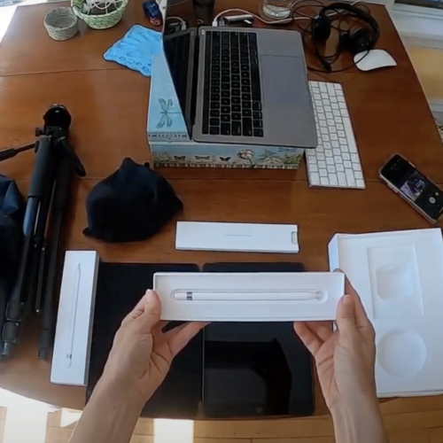
Tech Kit Startup!
If you have received a Tech Kit, read this startup to learn what’s included in the kit, how to get set up for the first time, and where to find more resources.
If you have received a Tech Kit, read this startup to learn what’s included in the kit, how to get set up for the first time, and where to find more resources.
Kelsey Boyle shares a plan for creating a cohort-based, hybrid course for large classes, which provides both synchronous and asynchronous resources and activities for hybrid instruction.
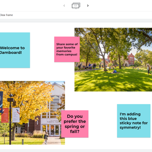
Britt Abel shares ideas for how to teach with Jamboard, a free digital whiteboard used for remote collaboration.
Use the resources in this guide to learn how to best screen films and other videos with your students while abiding by fair use guidelines.
Watch this video to learn how to record the screen of an iPad and save it as a shareable video using Quicktime.
Watch this video to learn how to connect an iPad to a Macbook and how to screen record with the two devices.
Watch this video to learn more about the different types of videos you might use in your course and they can improve student learning.
VoiceThread enables students and faculty to share and comment on multimedia content e.g. lectures and presentations. Use this how-to to learn how to use VoiceThreads in your Moodle course!

Finding images, sounds, music, and video to use in digital projects can be difficult. Use these resources to find information on copyright, fair use, and creative commons licensing, along with repositories of materials in the public domain or released with a creative commons license.
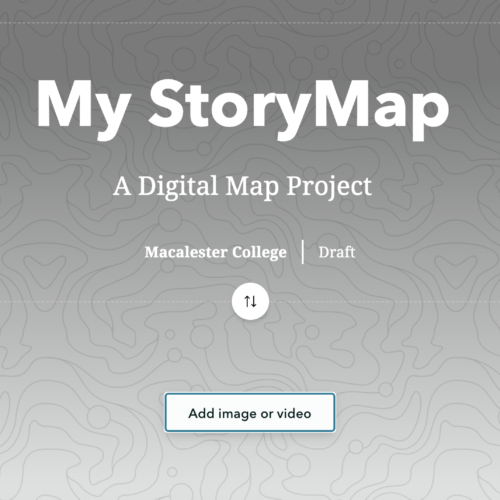
ArcGIS StoryMaps allows you and your students to create inspiring, immersive stories by combining text, interactive maps, and other multimedia content. Stories can be published and shared with the public, with only Macalester users, or with more limited groups within Macalester, which allows you to tailor content to a chosen audience. Use this guide to get started with ArcGIS StoryMaps!